1h
E-learning Course:
General Information on Maps and Plans
How to use the different types of plans and maps in the water sector? How to read a drinking water network plan and a wastewater network plan?
total duration
37
minutes of video
9
videos
Training for…
Master the issues related to maps and plans
Take advantage of the flexibility of e-learning
Learn when and where you want — access our courses from your computer, tablet or smartphone. Need to take a break? Pick up later where you left off.
Solidify your knowledge over time
Need a reminder? You can access our courses for 12 months. Watch our videos and sharpen your skills as many times as you want.
Track your progress step by step
Start off with an initial assessment to know what you need to focus on. After finishing a course, do a final assessment to see how far you’ve come.
Train your staff on maps and plans
Training that adapts to your schedule
With short videos, your team can learn at their convenience — during dedicated time slots, while coming back from a site or even if there’s bad weather.
Ensure continued improvement
Need a reminder? Your staff can access our videos, interactive tests and other resources for 12 months.
Track everyone’s progress
Assign courses individually or to groups and monitor their progress from your control panel — assessment results, completion rates, learning times and more.
What you will learn
In this course, you will learn how to read and interpret drinking water and wastewater network plans. A particular attention will be given to how to use a scale, recognise the main symbols and read a longitudinal profile plan.
Educational Objectives
To use the different types of plans and maps in the water sector
To read a drinking water network plan
To read a wastewater network plan
Target Skills
- Read and use drinking water and wastewater plans
Your Contacts
WATURA
Course program:
General Information on Maps and Plans
18 questions to find out what you already know about maps and plans. Focus on the key points!
- Definition and Roles of Maps and Plans
- How to Read a Map?
- Map and Plan Scales
- How to Read Plans used on Drinking Water Networks?
- What are the Symbols Used in Drinking Water Networks?
- How to Read Plans Used for the Wastewater and Stormwater Networks?
- Longitudinal Profiles
- Plans for Electricity, Gas and Telecom Distribution Network Operators
- The As-built Drawing
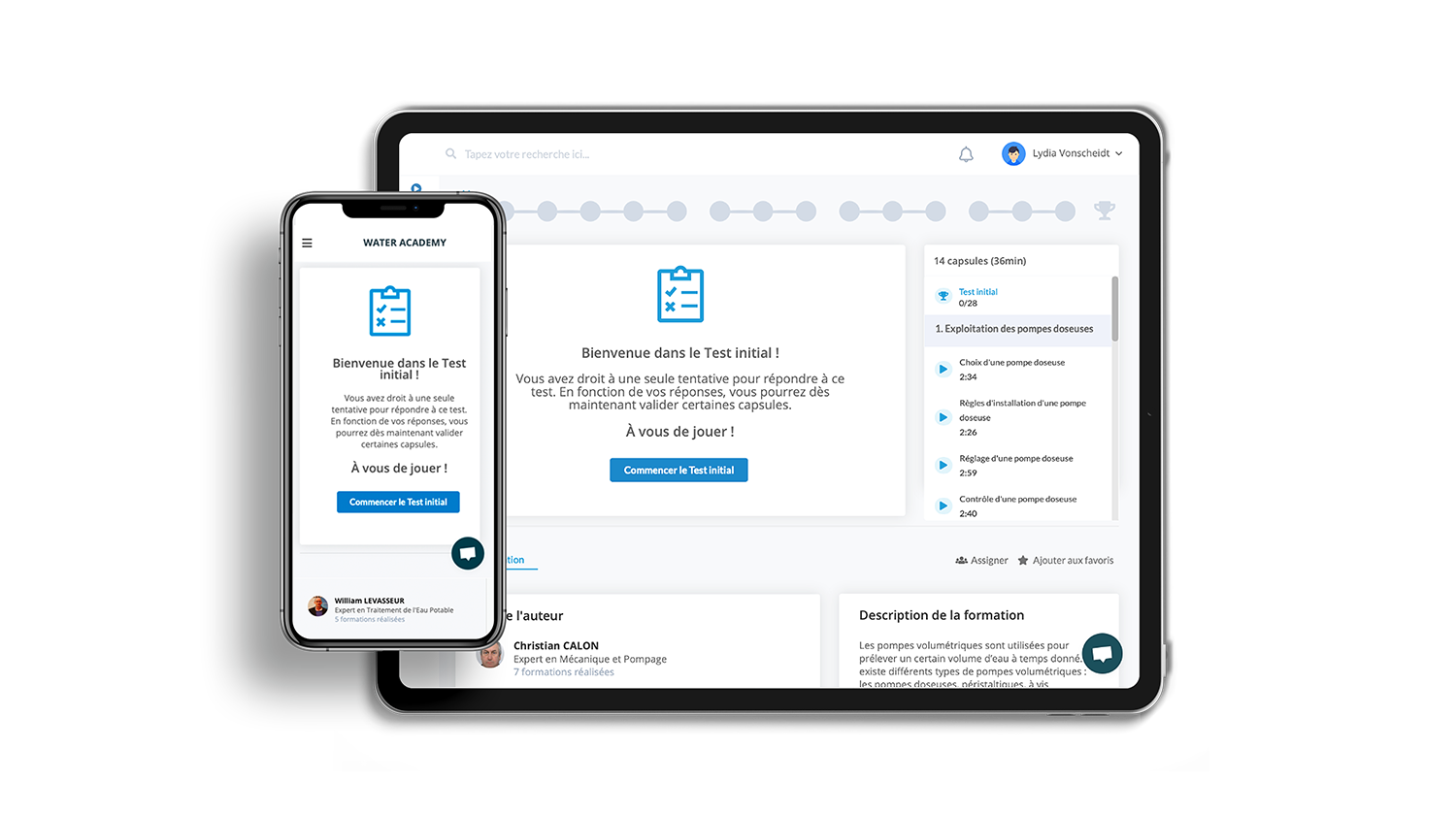
Find out what you already know about maps and plans.
Educational content developed by experts
easily accessible with your Watura account
Short Videos
Concise videos that help you learn key concepts with ease!
An Initial Evaluation to determine educational needs
Find out what you already know and save time by only focusing what you haven’t yet learnt.
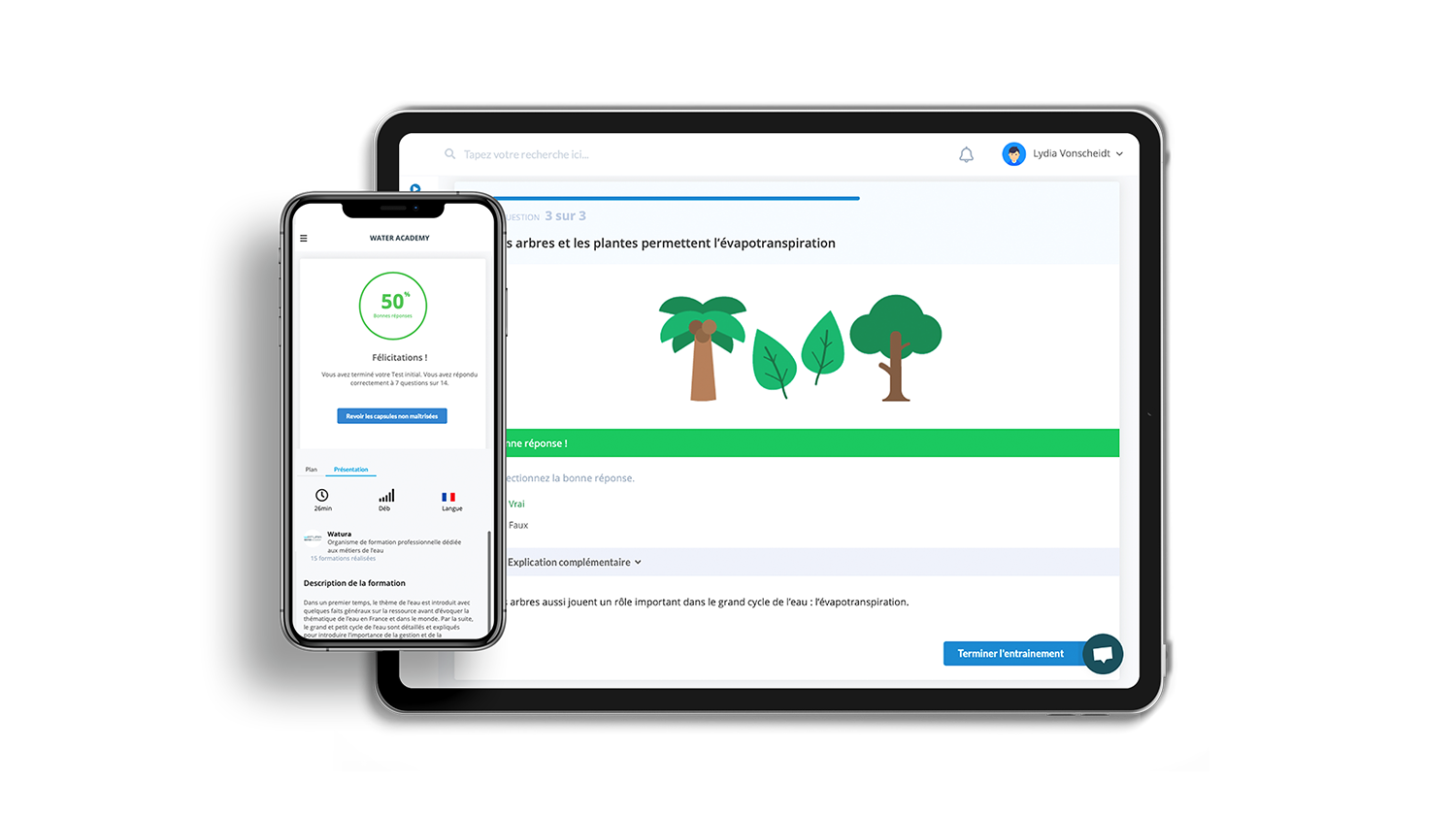
Practice questions for effective learning
Discover what you’ve learned after every video and get detailed explanations with just a click.
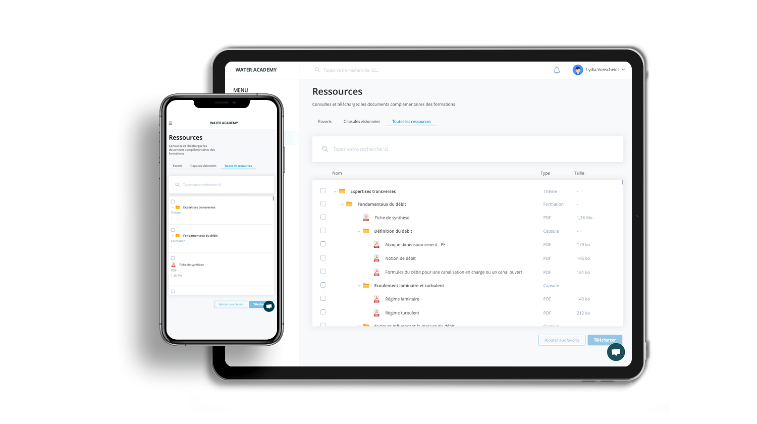
Additional Content
Put together your own digital textbook and easily find key information.


Frequently Asked Questions - General Information on Maps and Plans
How does evaluation work?
There are two evaluations—an initial evaluation to determine your educational needs and a final test to see what you’ve learned. The two evaluations contain the same questions in order to measure your progress after taking the course.
Can I rewatch the videos and redo the evaluations after passing the course?
Absolutely! You can access all our videos and evaluations for 12 months. Take the course again if you need a refresher on some aspects.
Can I get a certificate?
Once you’ve passed a course, you can download a completion certificate.
Can I pause my course?
Yes, your progress is saved after each video and you can pick up where you left off.
Any questions ?
We have the answers !
Contact us


